HYDRO GEO ENVIRONMENTAL CONSULTING
HGEC is an Australian consultancy who delivers technical expertise in groundwater engineering, hydrogeology and groundwater modelling
About Us
HGEC — A Legacy of Excellence Since 2002
Hydro Geo Environmental Consulting is a scientific consultancy based in Victoria. HGEC provide analytical services and technical advice to a wide range of sectors. Our clients include private, commercial, industrial and government, interested in a variety of activities including research, specialised monitoring and sampling, asset management, risk assessment, groundwater supply, groundwater licensing, groundwater impact assessment, groundwater pumping tests, groundwater sampling, or geoscience audits.
Our technical backgrounds include geology, hydrogeology, engineering, groundwater modelling, GIS analysis and community consultation. We have over 30 years industry experience including working within government and consulting.
We can also bring soil, ecology, geotechnical engineering, agricultural, geospatial data analysisand community consultation services to projects through working relationships we have developed with other specialist independent consultants.

Our Services
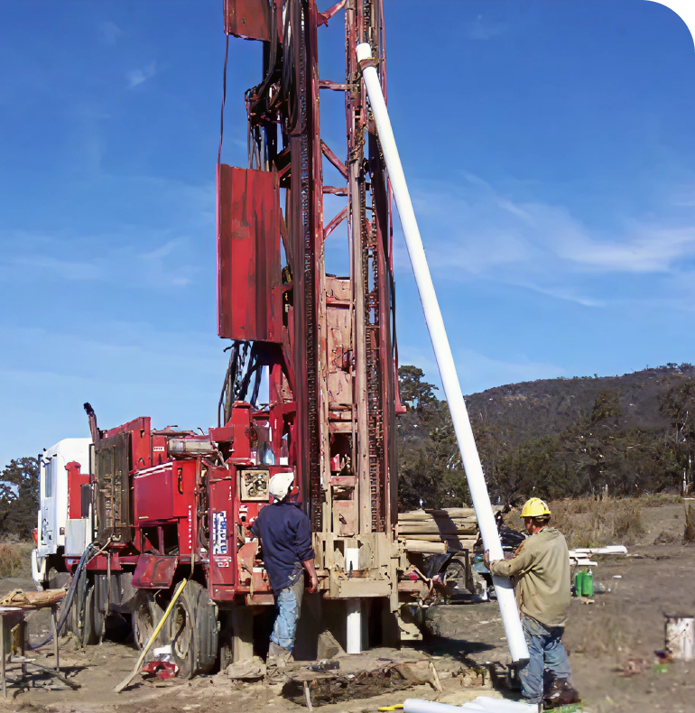
- Hydrogeological Investigations
- Expert Witness Support
- Basement Dewatering & Design
- Groundwater Impact Assessment
- Groundwater Modelling
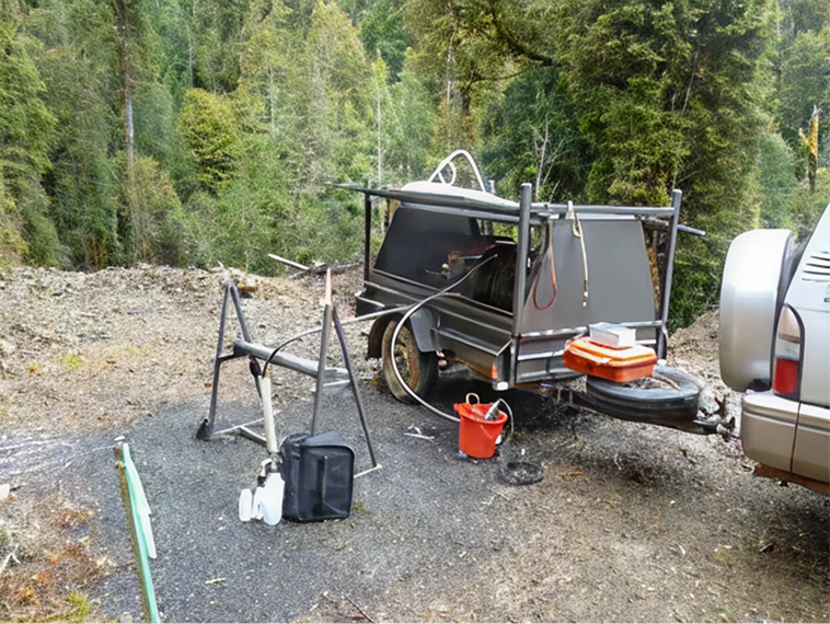
- Groundwater Sampling
- Hydraulic Parameterisation (Packet Testing, Constant Head Permeameter & Rising/Falling Head Tests)
What we doWe characterise hydrostratigraphy, quantify groundwater volumes and movement, and translate measurements into practical information. |
How we workPrograms are planned to answer specific decisions—minimising footprint while maximising confidence |


What we do
|
Typical deliverables
|

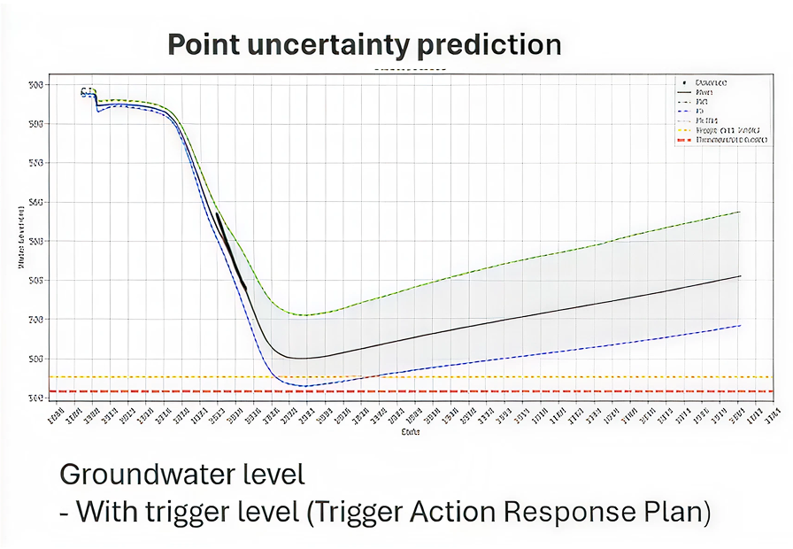
What we model
|
How we work (technical approach)
|
Examples of modelling applications
|
Typical deliverables
|


Have a question?
Connect with our specialists to design the right investigation approach for your site.
Working nationwide across Australia
Our nationwide team combines a broad national outlook with deep local insight.
