Groundwater Modelling
Sustainable groundwater management is essential to protect water resources, support long-term development, and ensure regulatory compliance.
HGEC delivers defensible groundwater models from feasibility through approvals. Our practice combines robust conceptualisation, disciplined calibration, and transparent uncertainty analysis so decision-makers can act with confidence.

Modelling Guidelines
- Core engines and problem types: MODFLOW 6 and MODFLOW-USG for complex layering and irregular grids; extensions to MT3D-USGS/SEAWAT for transport and density effects; analytical-element/superposition methods (AEM) for screening and data-sparse studies.
- Calibration workflow: PEST/PEST++ with zonal and pilot-point parameterisation, fitted to multi-objective targets (heads, fluxes, stream–aquifer exchange, and concentrations) with documented diagnostics and residual statistics.
- Ensemble uncertainty: PEST-ENSI and PEST-EIS to capture nonlinearity, explore alternative conceptualisations, quantify prediction credibility, and assess parameter identifiability without prohibitive runtimes.


- Use cases and benefits: Dewatering and wellfield optimisation, MAR assessments, groundwater-surface water interactions, plume fate/containment, and licensing/impact assessments—delivered as reproducible model packages with regulator-ready reporting and audit trails
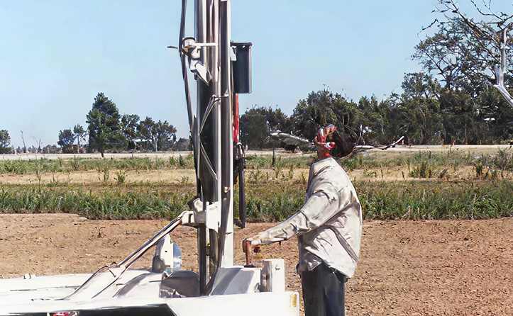
- Forcing and properties: Impulse-response (transfer-function) analysis of long water-level/rainfall records for time-varying recharge and boundaries; hydraulic properties constrained by pumping/recovery and step-drawdown tests, supported by slug and packer testing.
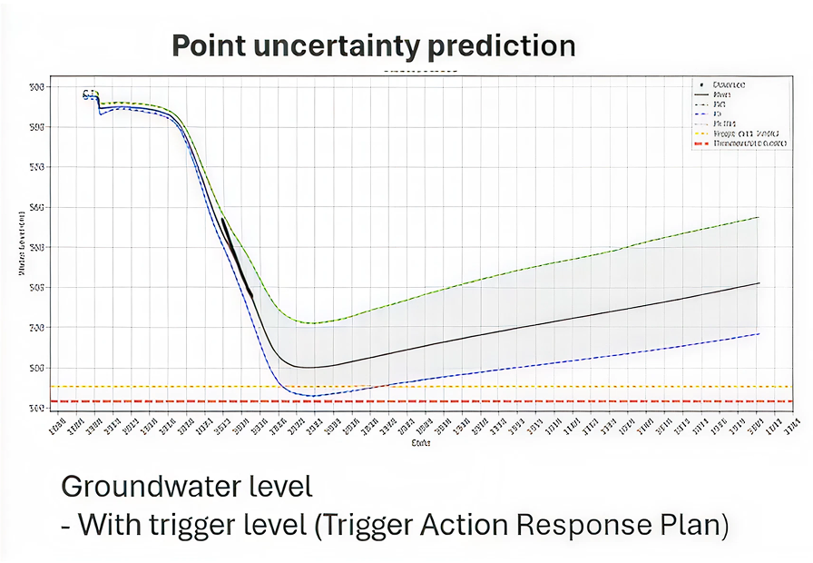
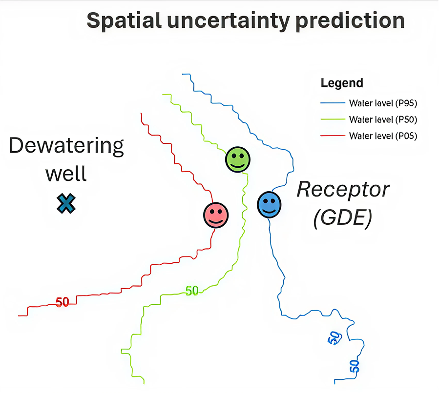
- Decision outputs: Probabilistic forecasts reported as P5/P50/P95 envelopes for excavation inflows, drawdown at receptors, well interference, and salt-load exports, with clear traceability from inputs to predictions.
- Operationalisation (TARPs): P50 informs base operating settings; P95 defines conservative triggers and contingency capacity; P5 identifies optimisation opportunities—directly mapped into Trigger–Action–Response Plans.
Why HGEC?
With more than 24 years of experience in hydrogeology and environmental consulting, HGEC delivers clear, practical, and scientifically defensible groundwater advice. Our independent approach ensures groundwater resources are protected while enabling clients to plan with confidence and certainty.
