
Case study · Serpentine, Victoria
Mapped wetland assessment at Serpentine
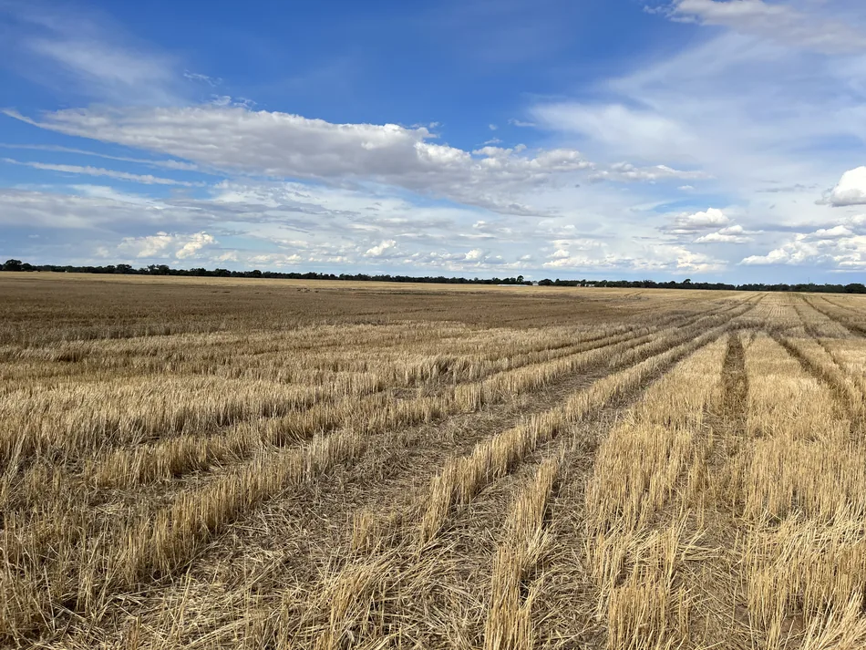
Three shallow depressions on a farm were mapped as wetlands. The landholder needed evidence of how long they held water. Our Victorian mapped wetland guide explains how that evidence relates to the DEECA guideline.
Client Farm landholder
What the flood revealed
The November 2022 Loddon River flood provided an opportunity to see the depressions fill and drain. Satellite images taken after the flood showed that surface water had drained from all three within three weeks.
Field inspections recorded the soil profile and the shape of the floodplain. Together with the dated imagery, these observations gave the landholder a record of conditions on the ground to put alongside the wetland mapping.
The written decision
In March 2023, Victoria’s Department of Energy, Environment and Climate Action (DEECA) agreed in writing to exclude the three assessed areas from consideration as mapped wetlands in this native vegetation assessment. Its letter also specified that any existing native vegetation proposed for removal still required assessment and planning approval unless an exemption applied.
What evidence is available for your site?
A map of the proposed works, dated photographs showing standing water or dry ground, and any correspondence from council give us a starting point for scoping a field assessment.
Serpentine in the project library