
Case study · Seven Mile Beach, Tasmania
Coastal groundwater flooding at Seven Mile Beach
After months of flooding in parts of Seven Mile Beach in 2009, Clarence City Council needed to understand how rain and a shallow coastal aquifer contributed to water at the surface.
Client Clarence City Council
Following the water below ground
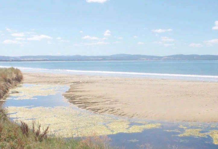
In low-lying parts of the township, prolonged rain raised the water table above ground level. Surface drains were only one part of the picture. At the mouth of Acton Creek, a sand barrier also held water back from the sea.
Bill Cromer investigated the flooding and monitored groundwater levels for the council. Those records helped HGEC test a numerical model of the coastal sand aquifer against the water levels observed around the township.
Rainfall and sea level together
The model allowed council to explore how heavy rain and higher sea levels could combine to raise groundwater beneath low-lying land. That matters for flood planning because water can reach the surface from the aquifer as well as from a creek or the sea.
Planning for a coastal site
Past flood dates, observations of where ponding began, bore levels and tide records can help distinguish surface flooding from a rise in groundwater. These are useful records to bring to an initial discussion.
Seven Mile Beach in the project library